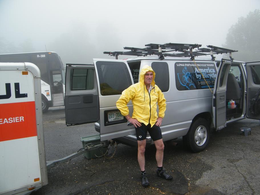
SAG - rain started here
|
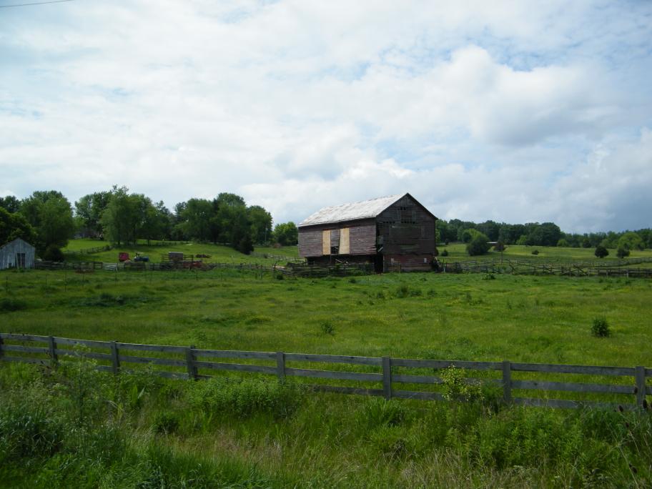
Scenic view
|
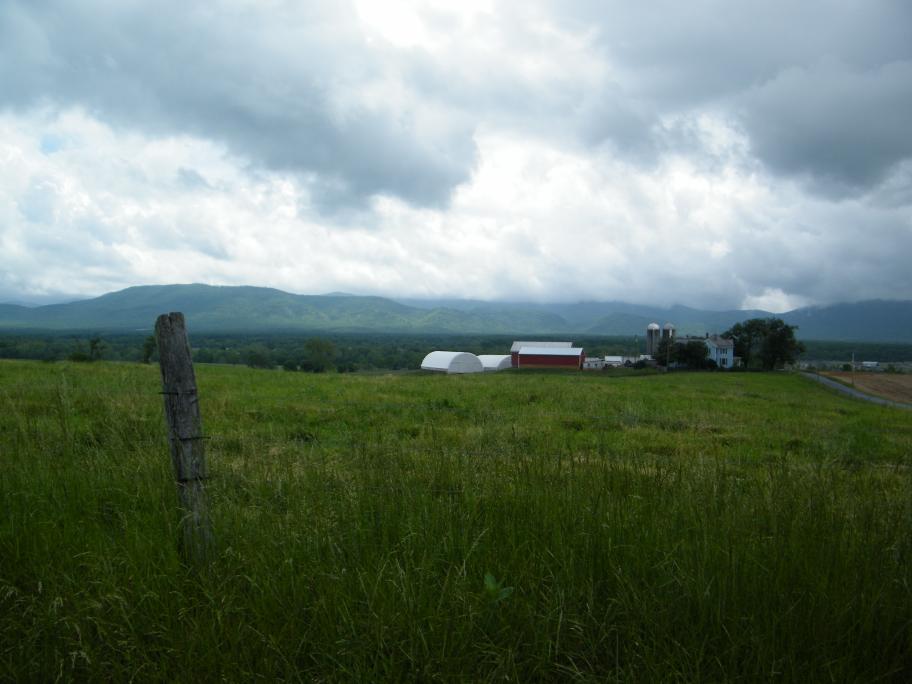
Scenic view
|
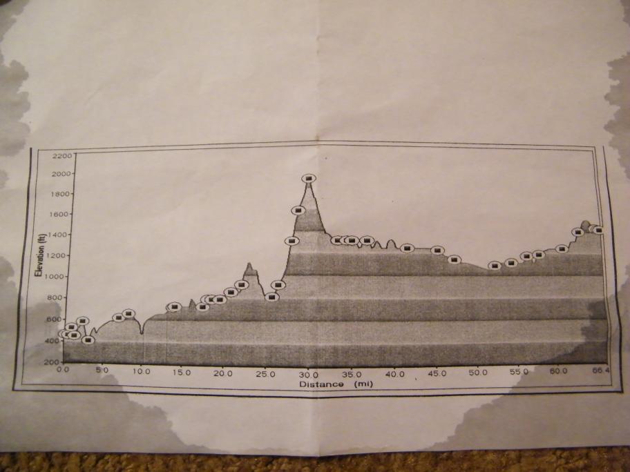
Elevation graph
|
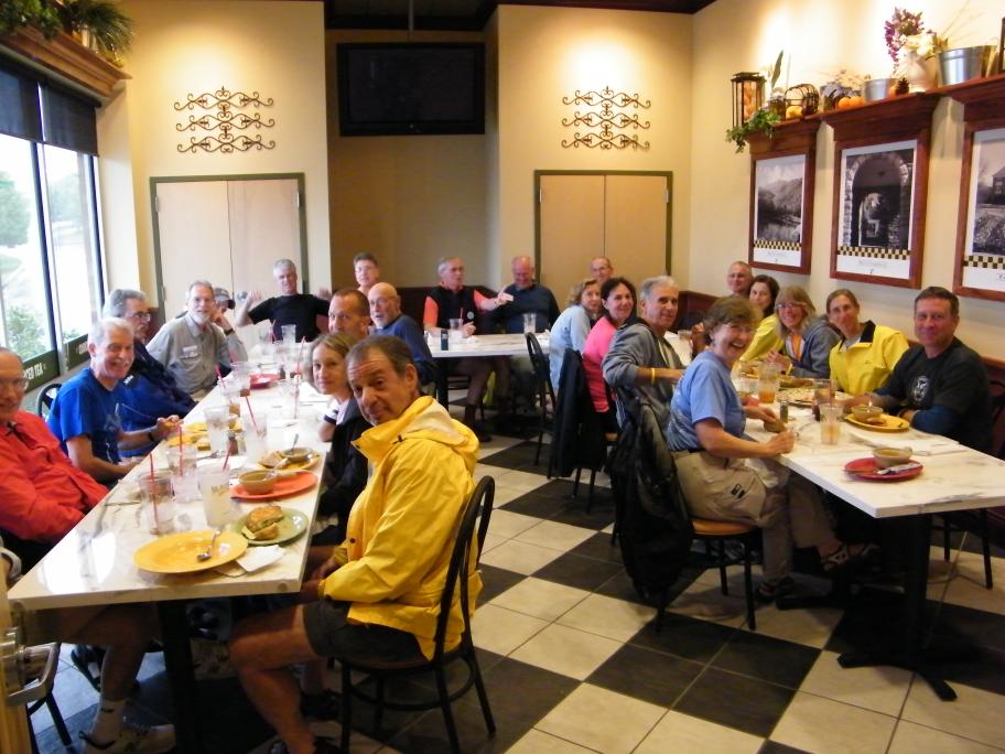
Dinner at McAlister's Deli
|
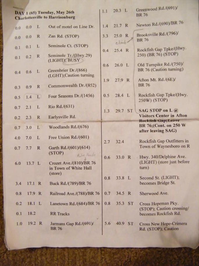
Today's route sheet
|

Road Map #1
|
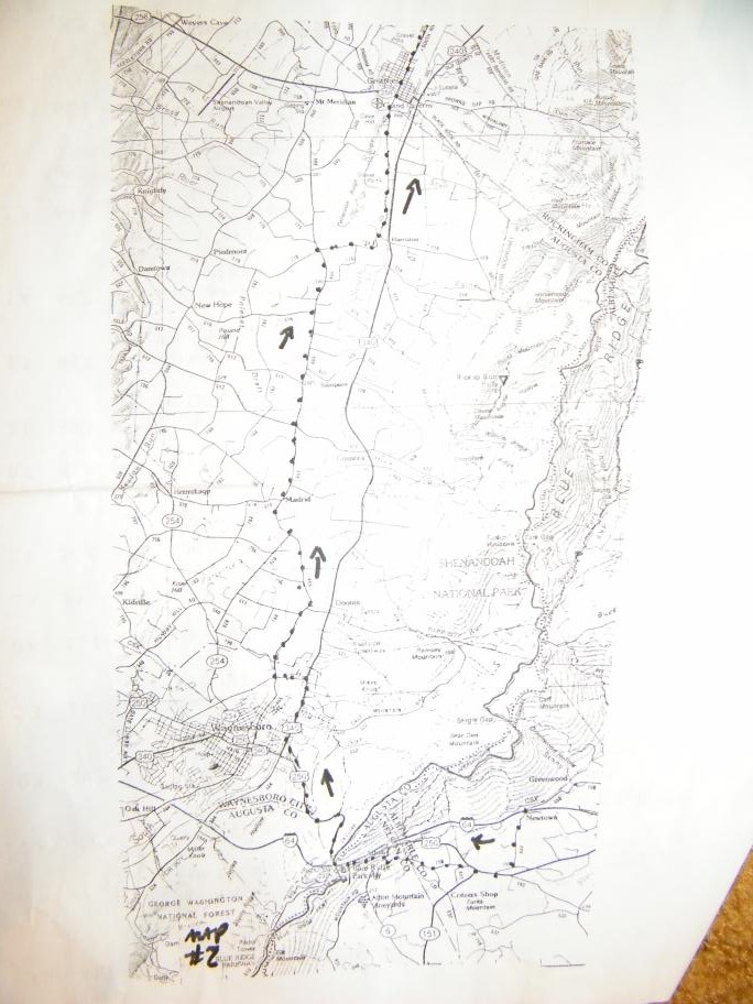
Road Map #2
|
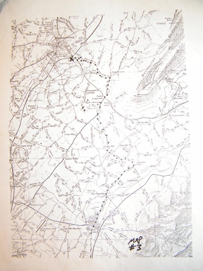
Road Map #3
|
Day 1, 65 miles, Tuesday May 26, 2009
Charlottesville to Harrisonburg
(my odometer: 65 miles, 13.2 mph, ~5 hrs)
Max speed 34.1 mph
Up at 5:30; continental breakfast at hotel, assorted cold cereal, scrambled eggs, yogurt, toast, muffins, fruit, orange & apple juice, coffee. Load luggage @ 7:00; top off air in tires; on the road @ 7:30.
It did rain last night as the roads were wet at the ride start. The forecast was for scattered showers this morning and rain developing by noon and heavy by 2pm. Therefore we all took various types of rain gear to quickly put on when the rain came.
Because of the threat of rain and it being overcast and cloudy, there were very few photo opportunities. The climb at 25 miles was a difficult one (see pic below). I will be posting these elevation graphs each day for your viewing pleasure. Be careful when you evaluate them and draw conclusions. At first observation, the climb in the middle of the ride looks extremely steep. Well it was in places, but we climbed about 1,100 feet over a distance of 5 miles. Graph interpretation can be tricky. About 10 minutes after I arrived at the top of this climb, our SAG for today, it started to rain. (our ride today basically was to cross over the Blue Ridge Parkway ) That's when I put on my raincoat. The rain stopped when we had completed about one mile of the downhill. But it remained very much a threat. Several of us stopped at 50 miles out at a small convenience store for lunch. We were there for a while and it was then that the rain started. It was quite heavy at times so most of us hung out longer than we ordinarily would. Several cyclists did take off, without their rain gear (they had left it in Mikes support van) and they immediately got totally soaked. Those of us that stayed were hoping that it would let up and after a while it did. So we took off. However, the rest of the ride for us did have intermittent light and heavy rain. So we all did get absolutely soaked today. I arrived at Comfort Inn at 2:15.
I have included pics today of the 3 types of information that ABB provides for cyclists while they cycle. I thought that some of my supporters would find these items interesting. Future journals will only include elevation graphs.
1) The route sheet with mileages and street names
2) The elevation graph
3) A series of road maps for that day's ride
Tomorrow we will have the opportunity to do a short loop ride (47 miles) or a long loop ride (74 miles). I will do the short ride - if it isn't raining. The forecast is for more rain... Oh well...
|
SAG - rain started here
|
Scenic view
|
|
Scenic view
|
Elevation graph
|
|
Dinner at McAlister's Deli
|
Today's route sheet
|
|
Road Map #1
|
Road Map #2
|
|
Road Map #3
|
|
|
|
|